New purpose of SWG is to revise the GeoPackage Encoding Standard and revise existing, or produce new, extensions to improve and increase functionality

The Open Geospatial Consortium (OGC) seeks public comment on a revision of the Geopackage Standards Working Group (SWG) charter. Comments are due by November 17, 2020.
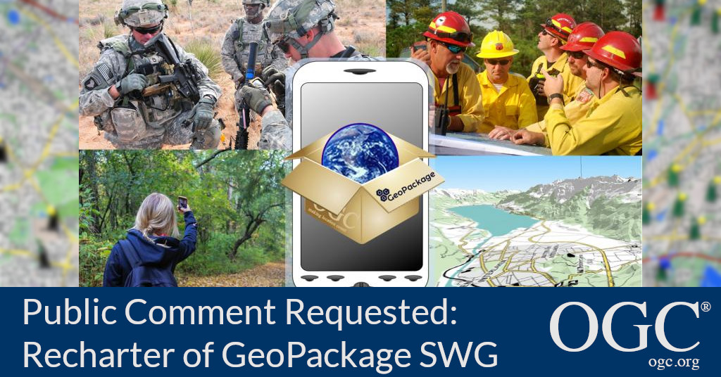
The Geopackage Standards Working Group (SWG) provides a consensus forum for revisions to the GeoPackage Encoding Standard including approved extensions as well as the development of new GeoPackage extensions. The SWG adopted a new charter outlining plans for future development of the Standard.
GeoPackage was originally developed with three main goals in mind:
- To be a convenient, efficient, and interoperable container for geospatial information;
- To enable operations in all computing environments, including those with Disconnected, Degraded, Intermittent, or Limited (DDIL) network connectivity;
- For GeoPackage to be extensible, allowing it to evolve to meet future operational needs.
For a good primer on Geopackage please read the post entitled #GeoPackageDay 2020 – what is GeoPackage? on the OGC Blog.
The revised charter outlines the new objectives for the SWG:
- Develop a logical model for GeoPackage so that future implementations can be separated from the current requirement to use SQLite.
- Revise existing GeoPackage standards and extensions, namely the GeoPackage Encoding Standard 1.3.0, the GeoPackage Tiled Gridded Coverage Extension, and the GeoPackage Related Tables Extension. In particular, the SWG will review all outstanding Change Request Proposals submitted before the adoption of this charter.
- Develop new GeoPackage extensions that have been requested by OGC Domain Working Groups.
- Perform outreach to promote GeoPackage understanding and use.
Revisions to the version 1.3.0 of the GeoPackage Encoding Standard will improve the interoperability, capability, and clarity of the Standard. The Tiled Gridded Coverage and Related Tables Extensions have not been revised since their initial release and will likely benefit from additional review. New extensions would enable new capabilities that have been requested by the OGC community.
The Geopackage SWG plans to perform these activities by the end of calendar year 2022.
For a good primer on Geopackage please read the post entitled #GeoPackageDay 2020 – what is GeoPackage? or any of the many Geopackage posts available on the OGC Blog.
The draft revised GeoPackage SWG charter is available for review and comment on the OGC Portal. Comments are due by November 17, 2020, and should be submitted via the method outlined on the draft revised GeoPackage SWG charter's public comment request page.
About OGC
The Open Geospatial Consortium (OGC) is an international consortium of more than 500 businesses, government agencies, research organizations, and universities driven to make geospatial (location) information and services FAIR – Findable, Accessible, Interoperable, and Reusable.
OGC's member-driven consensus process creates royalty free, publicly available geospatial standards. Existing at the cutting edge, OGC actively analyzes and anticipates emerging tech trends, and runs an agile, collaborative Research and Development (R&D) lab that builds and tests innovative prototype solutions to members' use cases.
OGC members together form a global forum of experts and communities that use location to connect people with technology and improve decision-making at all levels. OGC is committed to creating a sustainable future for us, our children, and future generations.
Visit ogc.org for more info on our work.
“